Photo credits
7 of the photographs on this site are of our own jobs and 1 is a licensed stock picture. The 21 below are other people’s work, used under free licences, and they are the reason the pictures of Sacramento on this site are of the actual streets rather than of a generic Californian suburb. None of the imagery here is AI-generated.
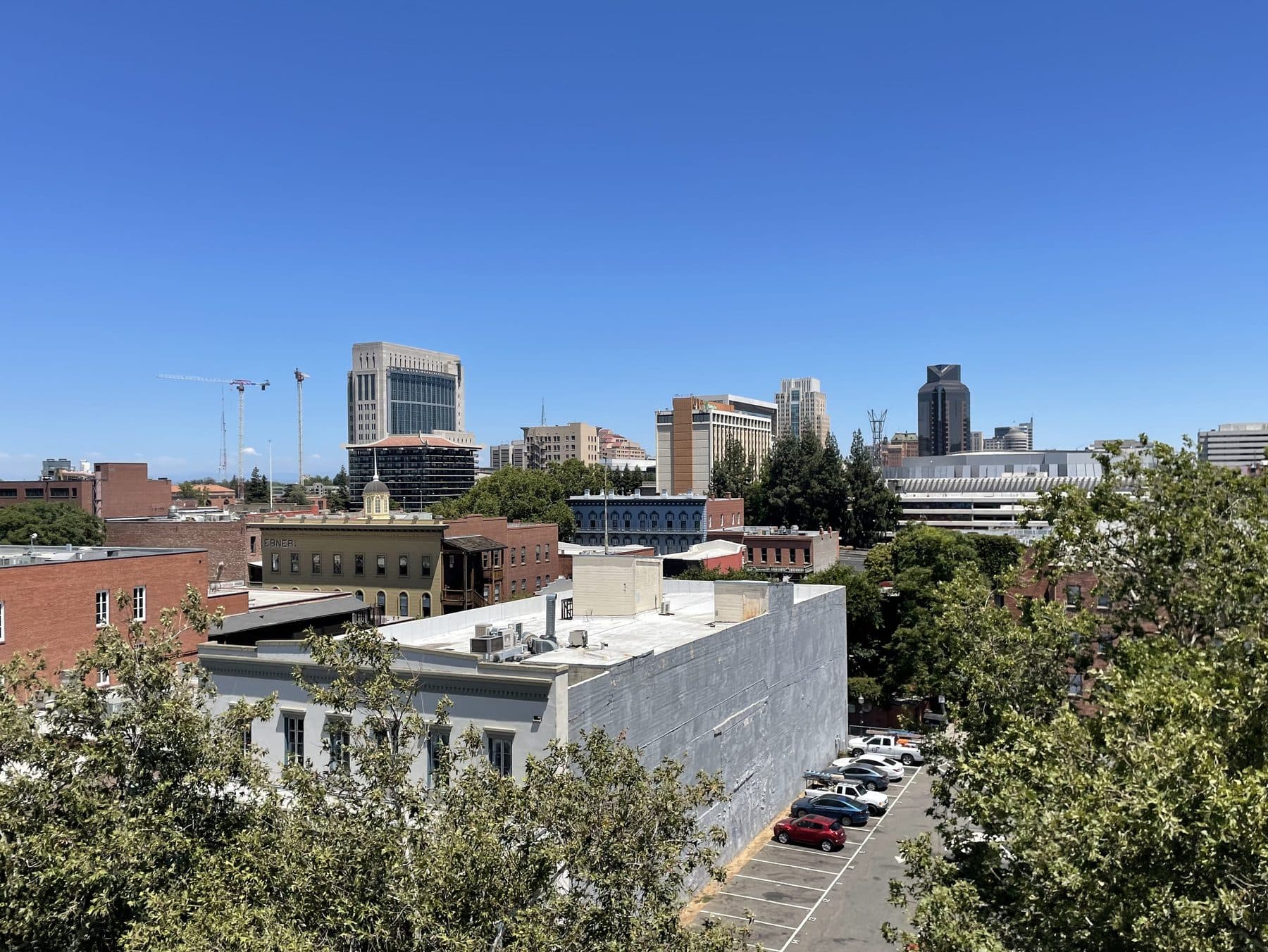
Downtown Sacramento, seen from the waterfront
The downtown Sacramento skyline seen over the brick rooftops of the Old Sacramento historic district.
Photograph by Roc0ast3r, licensed CC0 1.0. Our copy was resized to 1800 px wide; the original is on Wikimedia Commons.
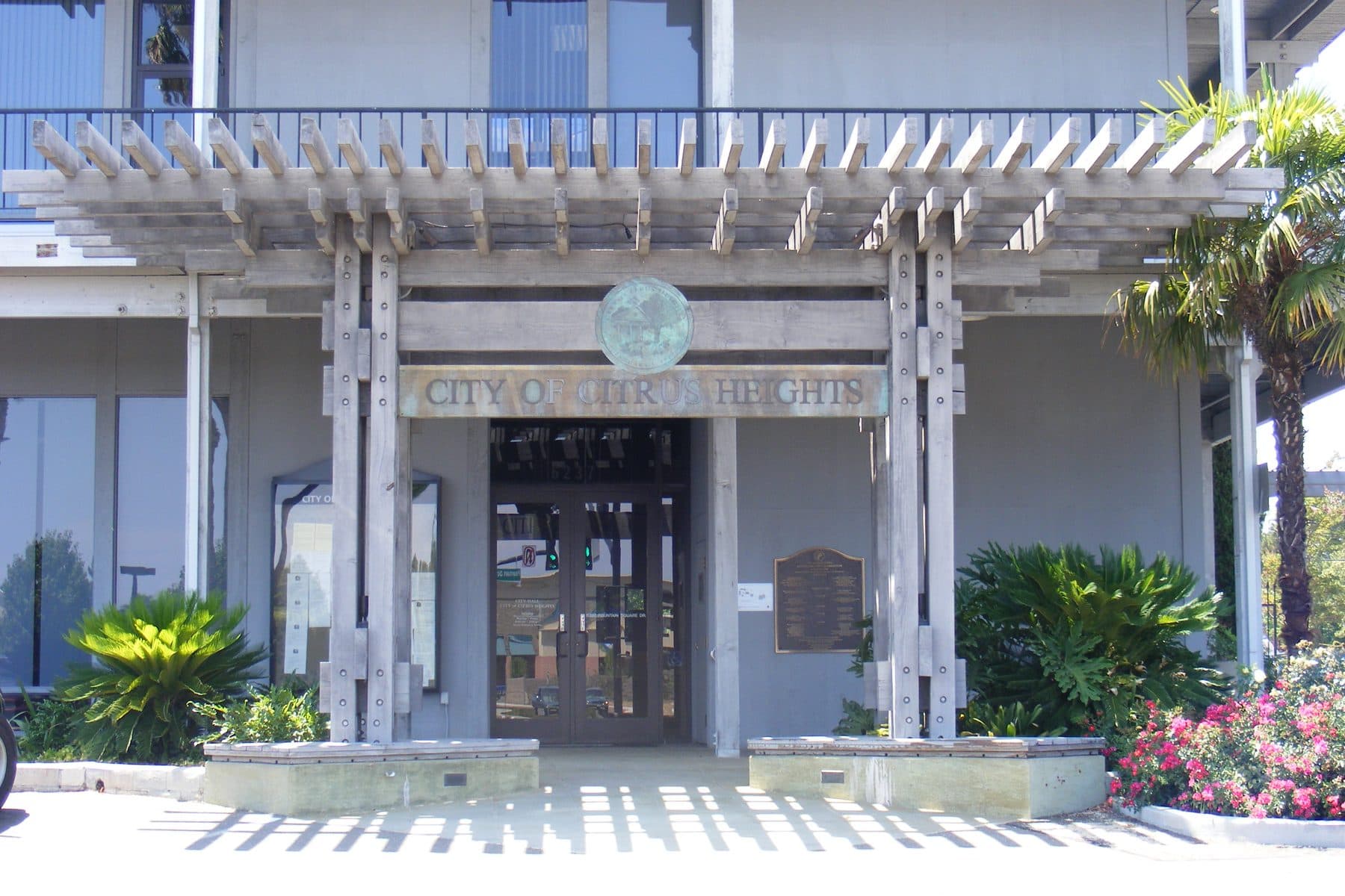
Citrus Heights City Hall, Fountain Square Drive
The entrance to Citrus Heights City Hall on Fountain Square Drive, the city seal above the doors.
Photograph by J.smith (English Wikipedia), licensed CC BY-SA 2.5. Our copy was resized to 1800 px wide; the original is on Wikimedia Commons.
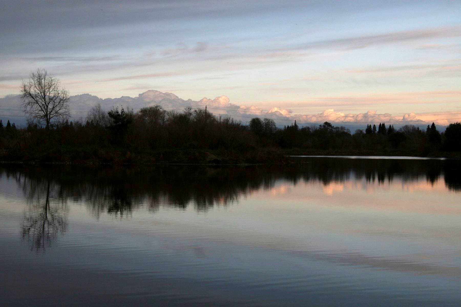
The lower American River at William B. Pond Recreation Area, Carmichael
The lower American River at dusk from the William B. Pond Recreation Area in Carmichael.
Photograph by Dan Cox, U.S. Fish and Wildlife Service, licensed CC BY 2.0. Our copy was resized to 1800 px wide and lifted in exposure — the original is a dusk frame that read as a black rectangle in a card grid; the original is on Wikimedia Commons.
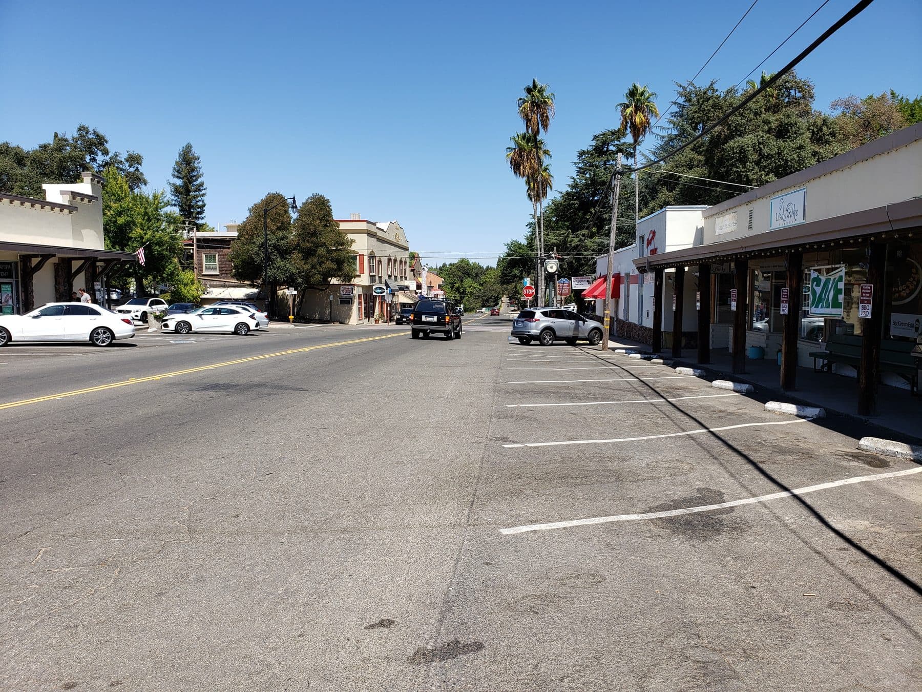
Fair Oaks Boulevard through Fair Oaks Village
Fair Oaks Boulevard through Fair Oaks Village, the old storefronts and their wooden porch posts on the right.
Photograph by DevinEleven, licensed CC BY-SA 4.0. Our copy was resized to 1800 px wide; the original is on Wikimedia Commons.
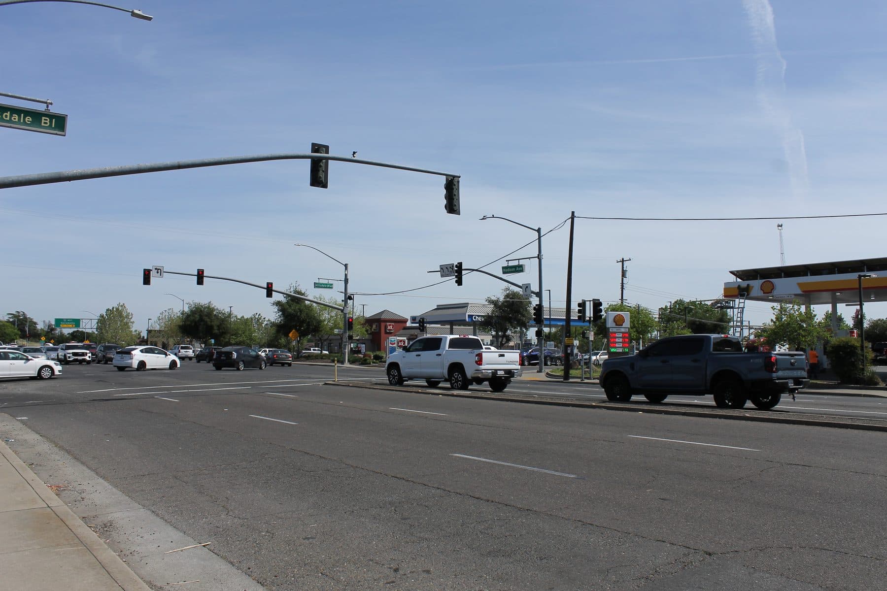
Madison Avenue at Hillsdale Boulevard, North Highlands
The junction of Madison Avenue and Hillsdale Boulevard in North Highlands on a clear afternoon.
Photograph by 7 Zeta, licensed CC0 1.0. Our copy was resized to 1800 px wide; the original is on Wikimedia Commons.
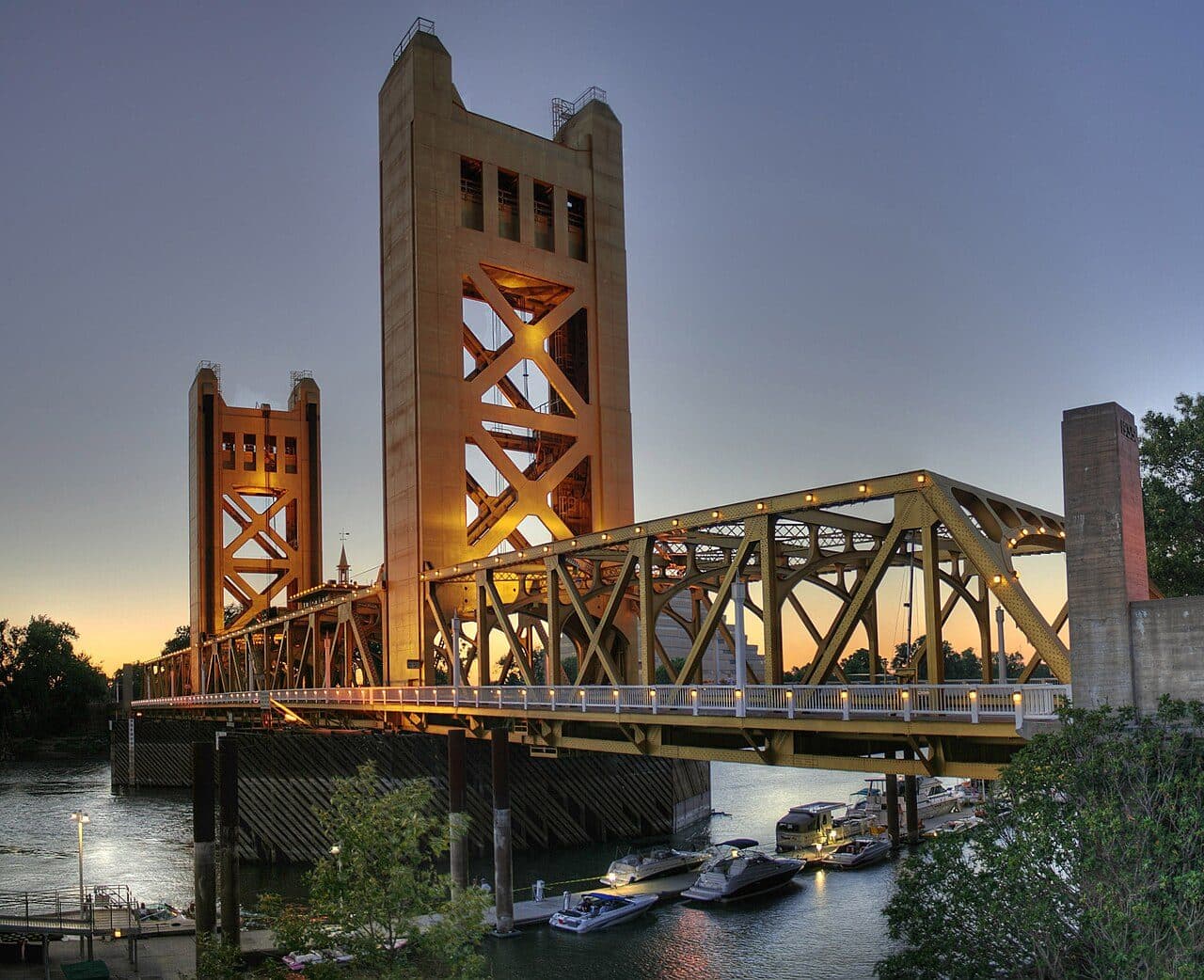
Tower Bridge over the Sacramento River
The Tower Bridge over the Sacramento River at dusk, its towers and trusses lit gold.
Photograph by Michael Grindstaff, edited by Fir0002, licensed Public domain. Our copy was resized to 1280 px wide; the original is on Wikimedia Commons.
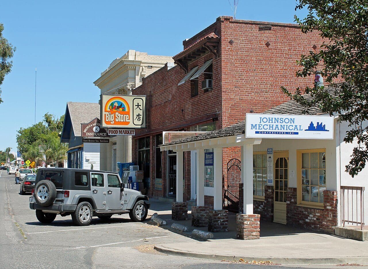
Old Town Elk Grove, the historic district on Elk Grove Boulevard
The brick storefronts of the Old Town Elk Grove historic district on Elk Grove Boulevard.
Photograph by Sarah Stierch, licensed CC BY 4.0. Our copy was resized to 1280 px wide; the original is on Wikimedia Commons.
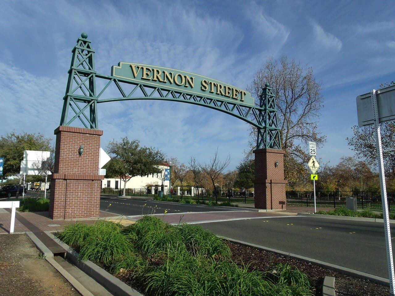
The Vernon Street arch, downtown Roseville
The green steel Vernon Street arch over the entrance to downtown Roseville.
Photograph by Noah Loverbear, licensed CC BY-SA 3.0. Our copy was resized to 1280 px wide; the original is on Wikimedia Commons.
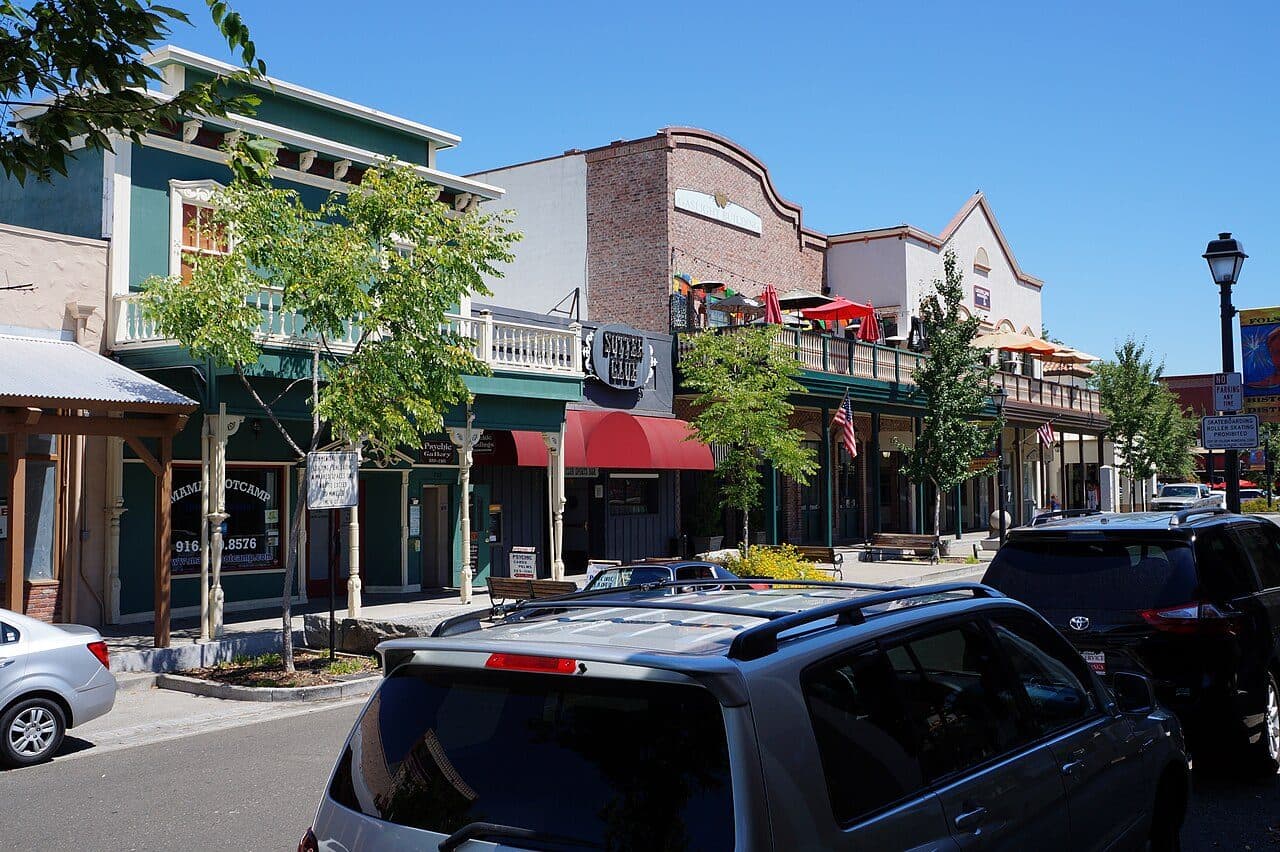
Sutter Street, historic Folsom
The gold-rush era storefronts and covered walkways of Sutter Street in old town Folsom.
Photograph by The Oaked Ridge, licensed CC BY-SA 4.0. Our copy was resized to 1280 px wide; the original is on Wikimedia Commons.
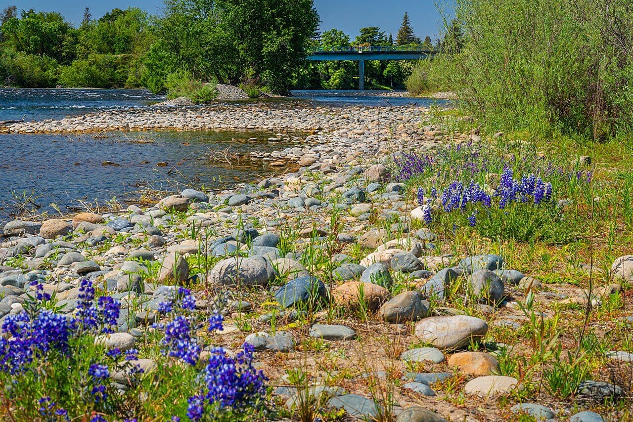
The American River through Rancho Cordova
The American River running past the cobbled bank and spring lupines on the Rancho Cordova side.
Photograph by RanchoCordovaExpert, licensed CC BY-SA 4.0. Our copy was resized to 1280 px wide; the original is on Wikimedia Commons.
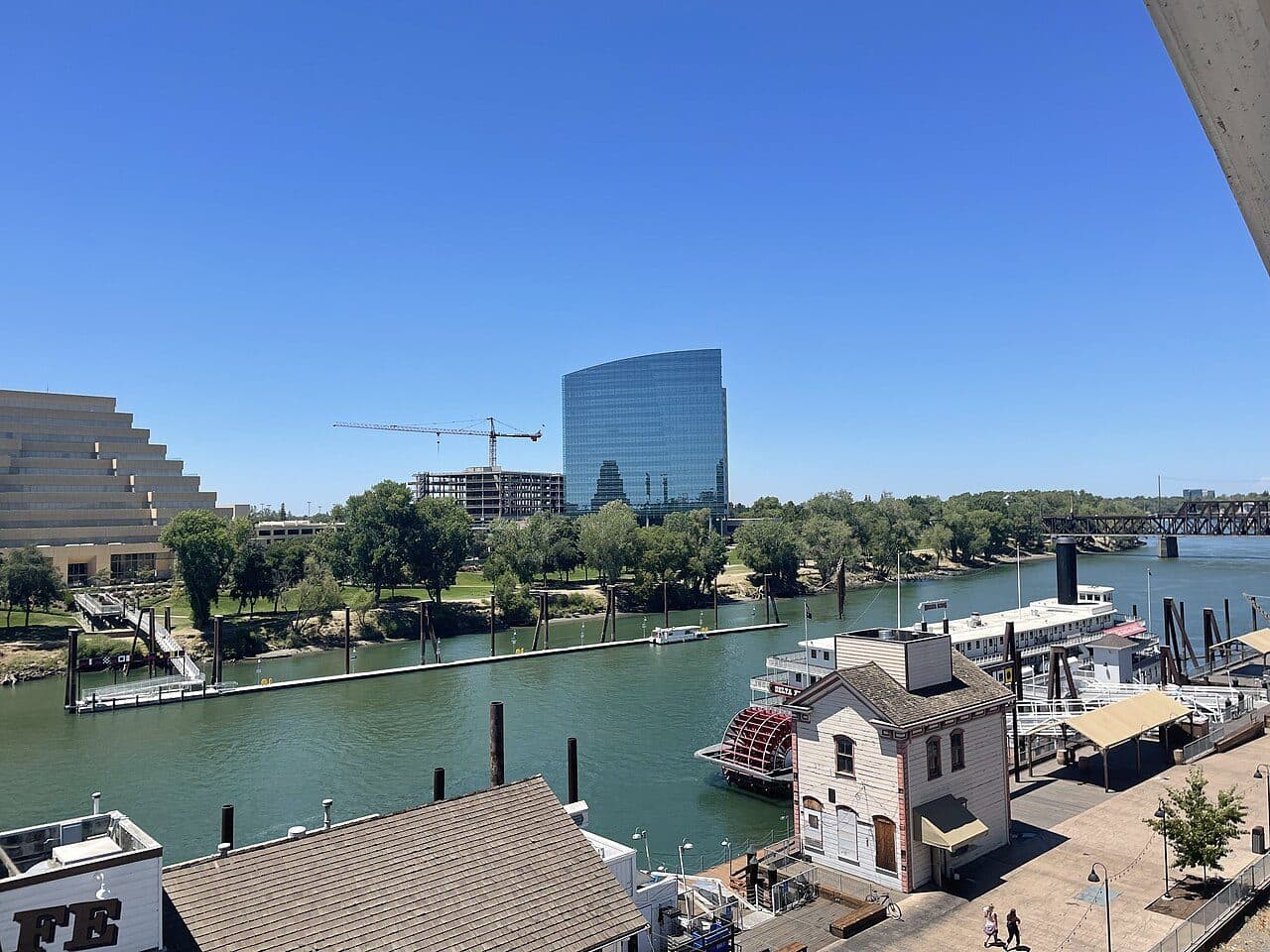
The West Sacramento riverfront, with the Ziggurat and the CalSTRS tower
The West Sacramento waterfront: the Ziggurat and the CalSTRS tower above the Sacramento River, with the Delta King moored below.
Photograph by Roc0ast3r, licensed CC0 1.0. Our copy was resized to 1280 px wide; the original is on Wikimedia Commons.
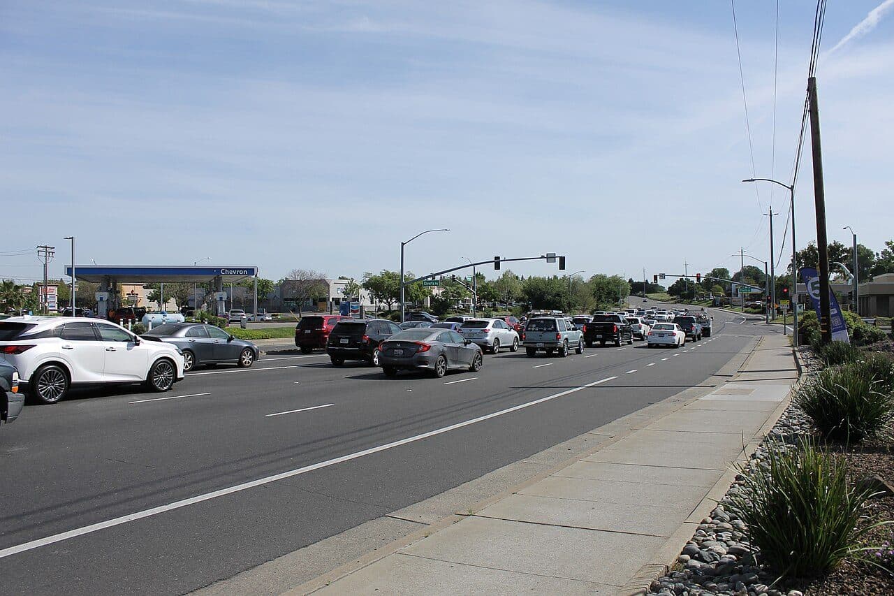
Antelope Road, Antelope
Antelope Road on a clear afternoon, the shopping frontage and the traffic lights at Elverta.
Photograph by 7 Zeta, licensed CC0 1.0. Our copy was resized to 1280 px wide; the original is on Wikimedia Commons.
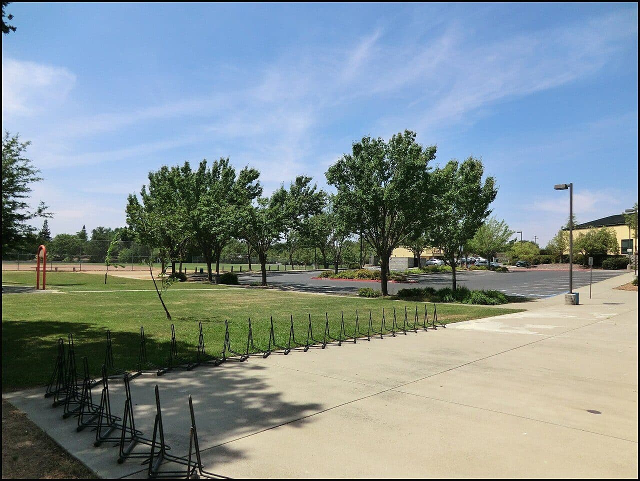
Orangevale Community Park
Orangevale Community Park: the open lawn and the old oaks along the edge of the ball field.
Photograph by UncleVinny, licensed CC BY 3.0. Our copy was resized to 1280 px wide; the original is on Wikimedia Commons.
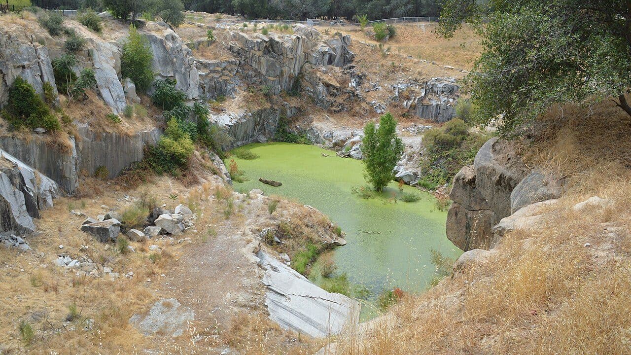
The California Granite Company quarry on Pacific Street, Rocklin
The old California Granite Company quarry in Rocklin: cut granite walls around a green pool, oaks along the rim.
Photograph by T71024, licensed CC BY-SA 3.0. Our copy was resized to 1280 px wide; the original is on Wikimedia Commons.
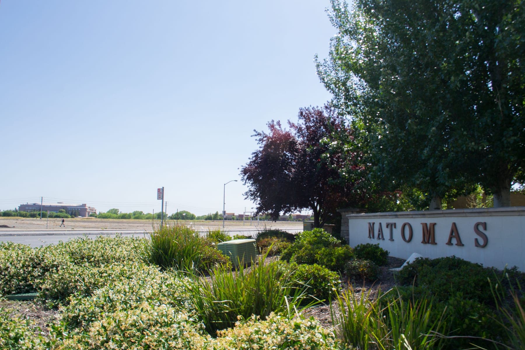
North Natomas, Sacramento
North Natomas from the air: the arena site, the wide arterial roads and the flat basin beyond.
Photograph by Visitor7, licensed CC BY-SA 3.0. Our copy was resized to 1800 px wide; the original is on Wikimedia Commons.
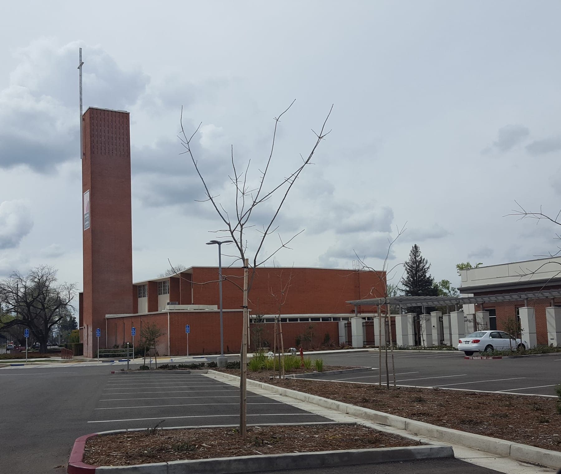
St Ignatius of Loyola Catholic Church, 3235 Arden Way, Arden-Arcade
St Ignatius of Loyola church on Arden Way, the mid-century parish at the centre of Arden-Arcade.
Photograph by Always dreamin, licensed CC BY-SA 4.0. Our copy was resized to 1800 px wide; the original is on Wikimedia Commons.
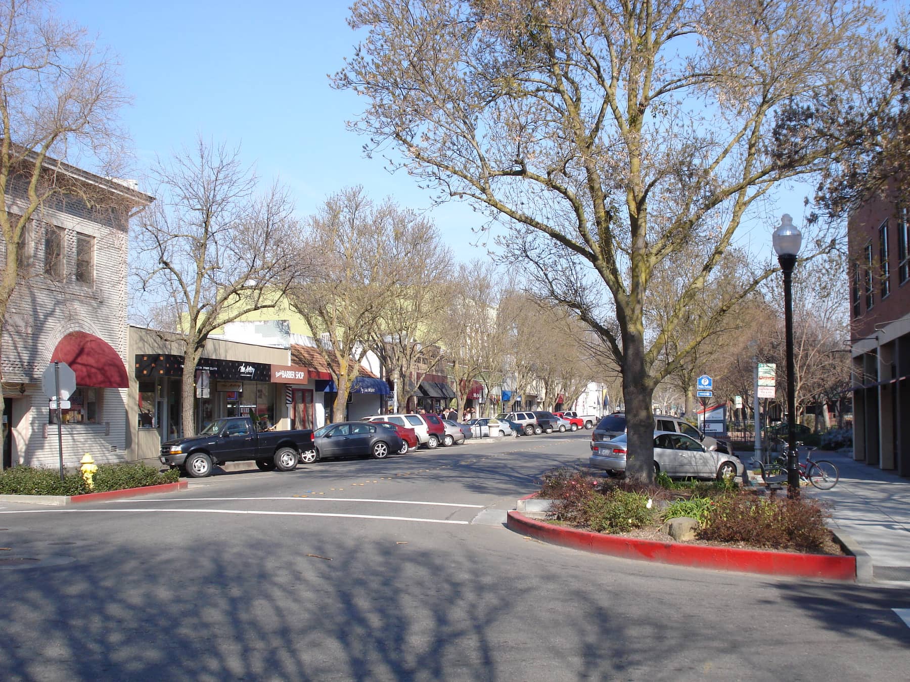
G Street, downtown Davis
G Street in downtown Davis in winter — bare plane trees, one- and two-storey shopfronts and cars angle-parked down both kerbs.
Photograph by Miles530, licensed Public domain (author release). Our copy was resized to 1800 px wide; the original is on Wikimedia Commons.
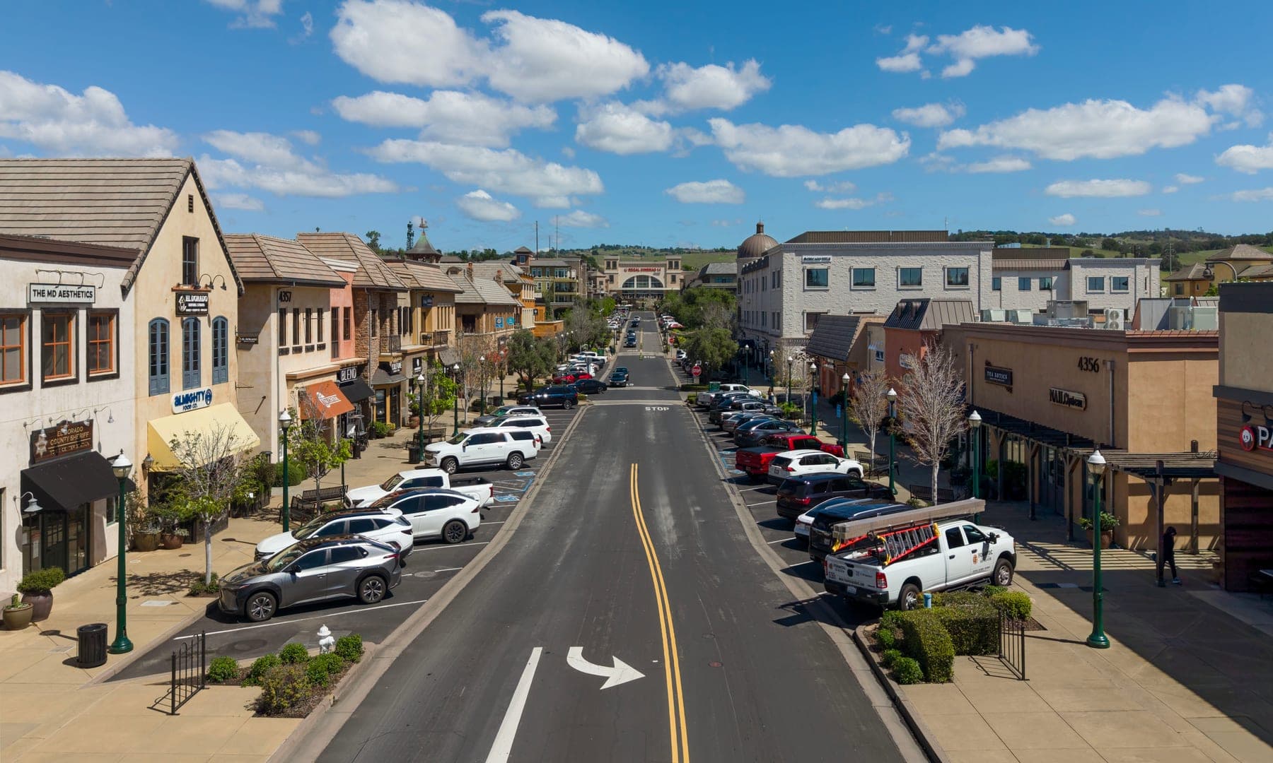
El Dorado Hills Town Center
The main street of El Dorado Hills Town Center — a wide two-lane road, angle parking on both sides, tile-roofed shopfronts and the dry foothills behind.
Photograph by Quintin Soloviev, licensed CC BY 4.0. Our copy was resized to 1800 px wide; the original is on Wikimedia Commons.
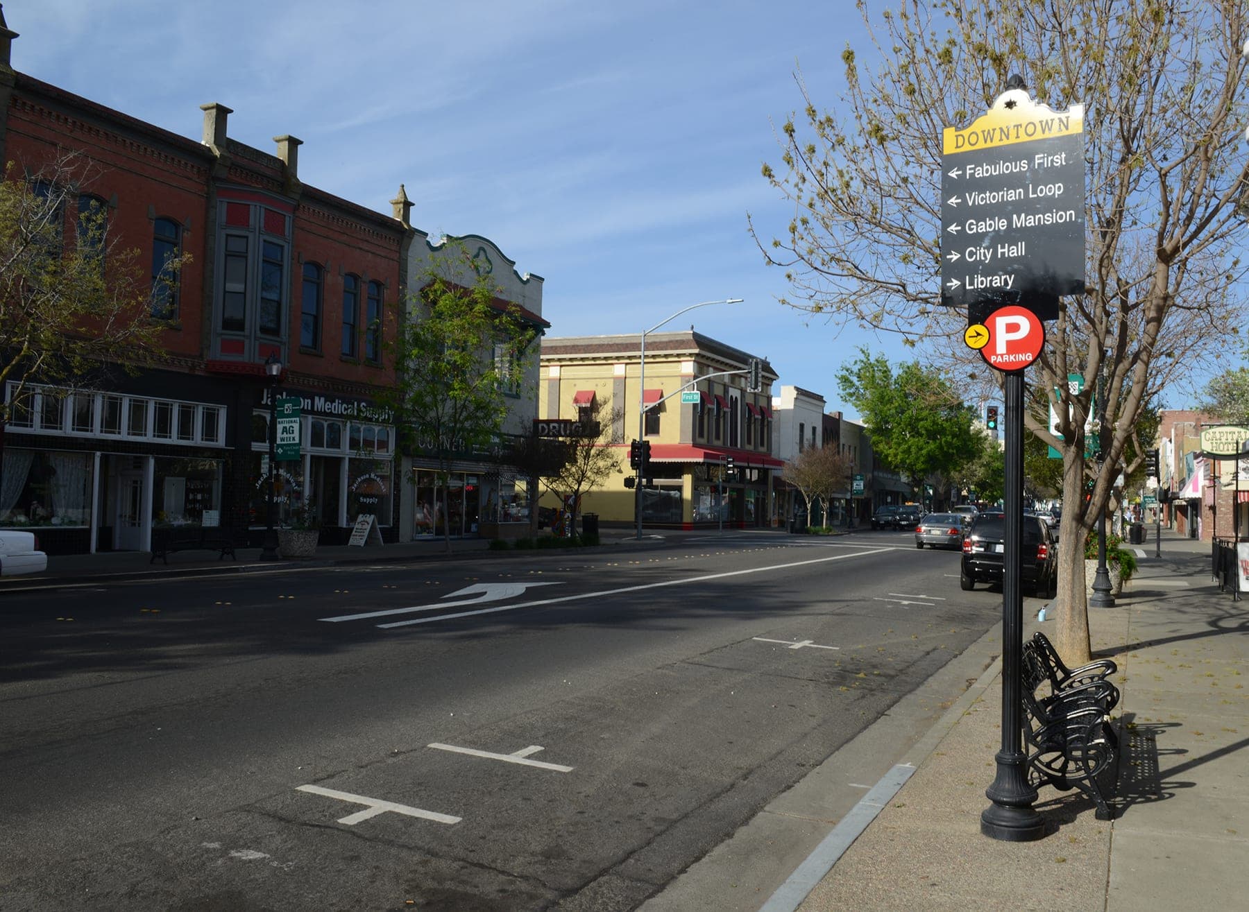
Main Street at First Street, downtown Woodland
Main Street at First Street in downtown Woodland — an ornate red-brick Victorian block, a wide empty roadway and a downtown wayfinding sign.
Photograph by Bluewing405, licensed Public domain (author release). Our copy was resized to 1800 px wide; the original is on Wikimedia Commons.
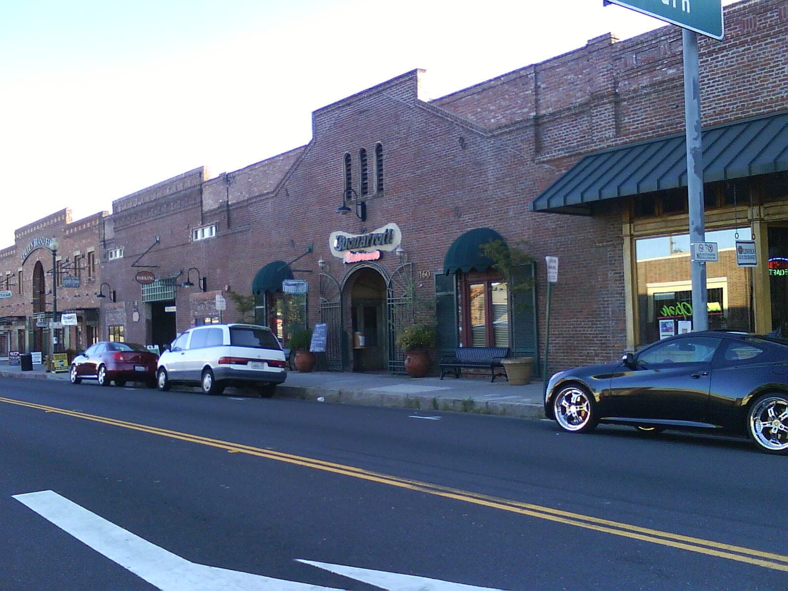
Downtown Lincoln, Placer County
A block of downtown Lincoln in evening light — single-storey red-brick storefronts under green awnings, cars at the kerb and a wide asphalt road across the foreground.
Photograph by Trackinfo, licensed CC BY-SA 4.0. Our copy was resized to 1600 px wide; the original is on Wikimedia Commons.
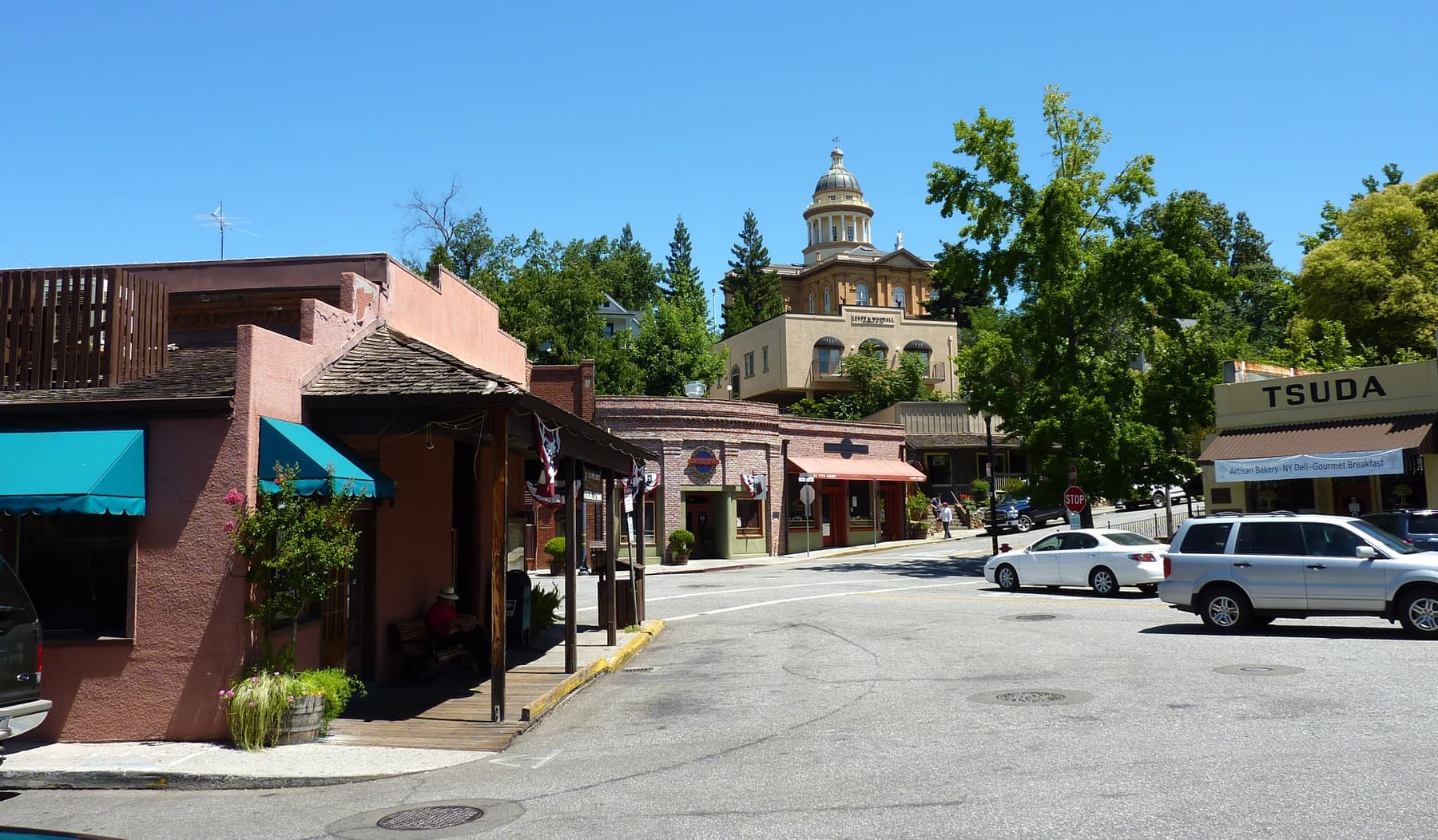
Old Town Auburn, Placer County
A street corner in Old Town Auburn — a stucco storefront with awnings and a timber porch, cars at the kerb, and the domed Placer County Courthouse on the wooded hill above the town.
Photograph by Bobak Ha'Eri, licensed CC BY 3.0. Our copy was resized to 1800 px wide; the original is on Wikimedia Commons.
If you took one of these pictures and the attribution here is wrong or you would rather it were not used, write to romanov@easy-move-florida.com and it will be corrected or removed the same day.